Every city has a reason for its shape. Guanajuato's is water. The town was built in a deep, narrow ravine because that is where the silver was, and a stream ran down the bottom of that ravine, through the middle of the houses, toward the plain. For most of the year it was a modest thing. In the rainy season it could become something else entirely, and the history of the city's streets, tunnels and dams is in large part the history of living with it.
A town in a ravine
The early mining settlement grew along the stream because the valley floor was the only reasonably level ground. Houses climbed the slopes on either side, connected by steep alleys and steps, and the river bed was the spine that held it all together. It carried water down from the hills above, and it also carried away whatever the town threw into it.
That arrangement worked until the rain came hard. Water collected from the surrounding hills and poured into the one narrow channel. With buildings pressed up against the banks there was nowhere for it to spread, so it rose. Floods could fill the low streets in hours, bringing mud and stones into houses and churches, and they returned again and again across the colonial period and into the modern era.
The dam above the city
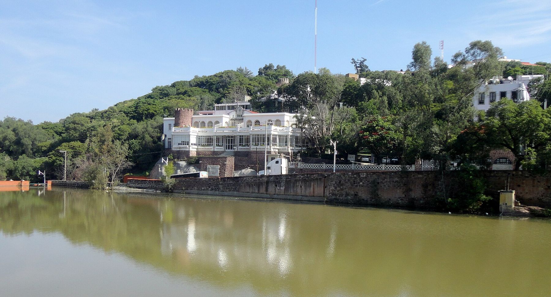
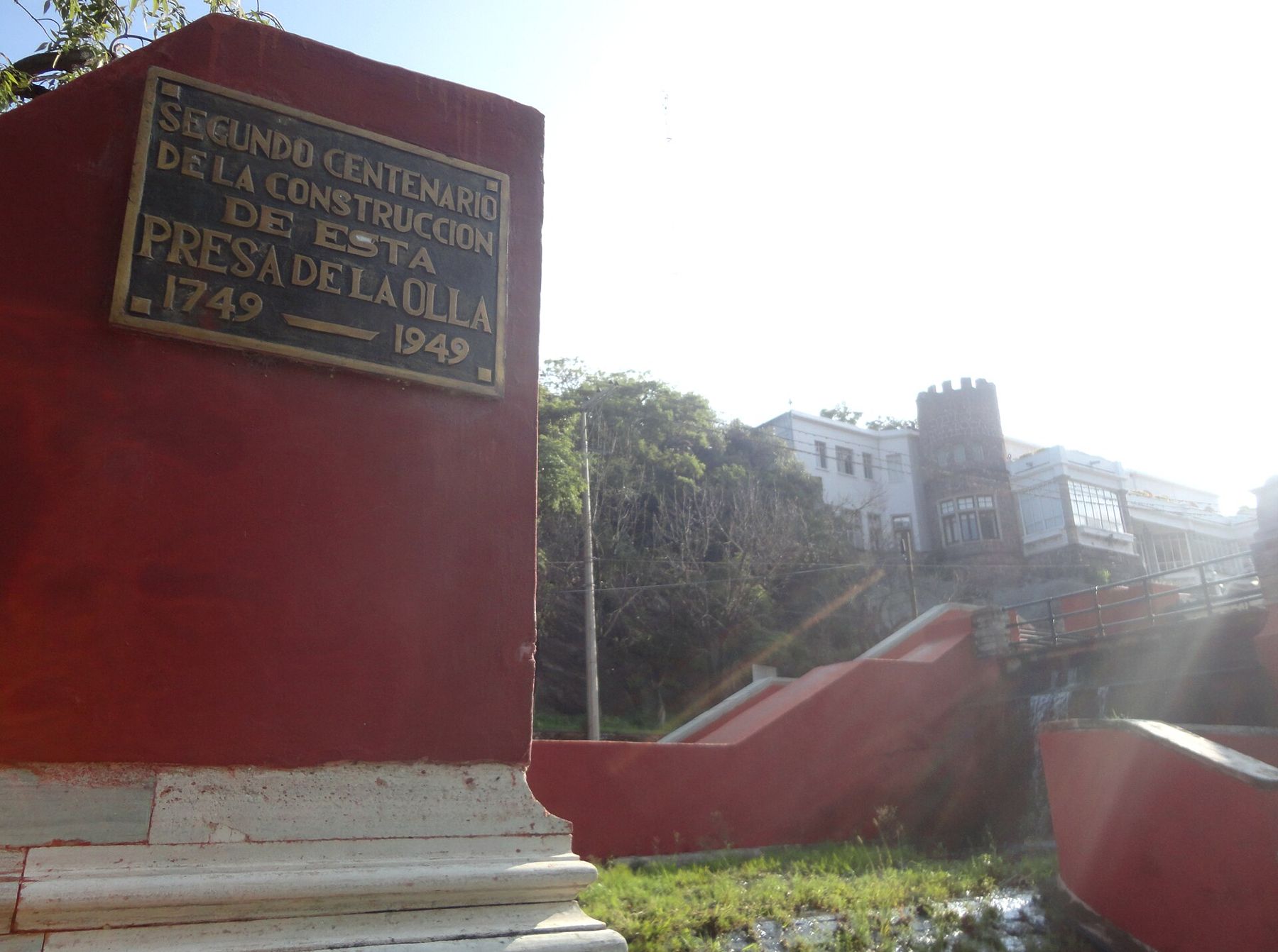
One answer was to hold the water back before it reached the town. Upstream of the centre, in the eighteenth century, the city built the Presa de la Olla, a dam across the valley that formed a reservoir. Its main purpose was to store water for a growing mining town, and with it came some control over what flowed down into the streets. A plaque on a red pillar near the spillway marks two hundred years since its construction, with the dates 1749 and 1949.
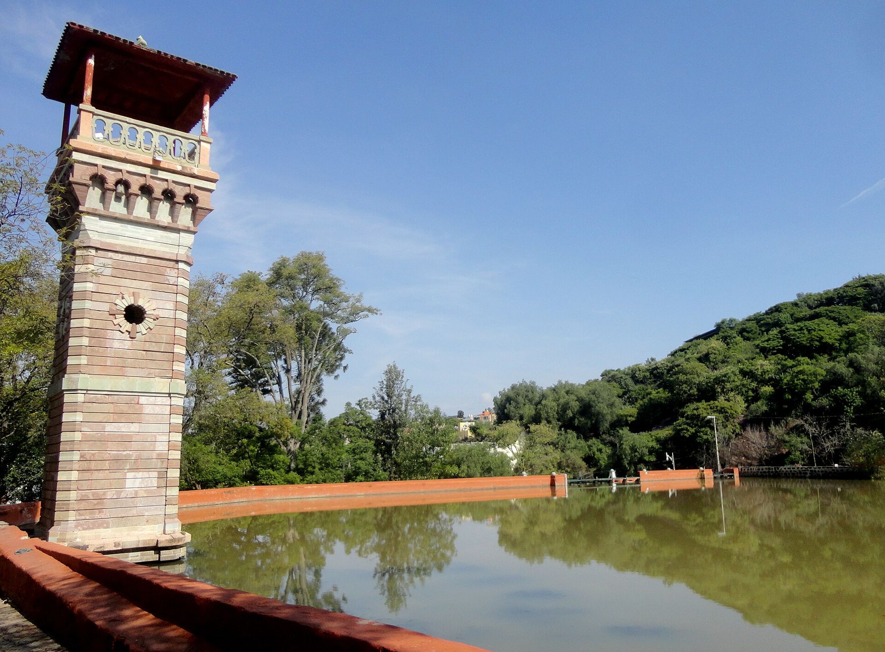
The dam still holds water today. The reservoir is a calm, greenish sheet edged with low terracotta walls, and on still mornings it reflects the wooded hillside and the houses above it almost perfectly. A slender stone tower with a balcony at the top stands at one end, an elegant lookout built on the edge of the water. Around the reservoir the city has kept a park, with trees, paths and benches, which makes it one of the more restful places in a town that is otherwise all slope and stone.
Floods and the drainage works
A dam could store water, but it could not stop every storm. Severe floods in the late nineteenth and early twentieth centuries showed how exposed the centre still was. The response was a more radical piece of engineering: a drainage tunnel dug to carry the river around and beneath the old town, so that floodwater no longer had to pass through its streets at all.
With the river diverted, the old channel through the centre slowly changed character. Much of it had already been walled in and vaulted over, with houses and streets built on top. Over time it stopped being a river and became a long, empty stone passage under the city, dark and dry most of the year.
What happened next is the part that visitors meet first, often without knowing it.From river bed to road
In the mid-twentieth century, as cars filled the narrow surface streets, the city found a new use for the old channel. The river bed was paved and opened to traffic, becoming the Calle Subterránea, the Calle Miguel Hidalgo, which still runs beneath the heart of the town. Later, more tunnels were cut through the hills to take traffic from one side of the valley to the other.
When you walk the Calle Subterránea today, you are walking along the floor of the old river. The rough stone walls, the arches and piers, the stairs that drop down from the plazas: all of them belong to the time when this was a waterway that the town had learned to fence in. The full walk is described in the road tunnels under the city, with notes on footways and traffic.
It is worth remembering this when it rains. In the wet months, water still pours down the alleys after a storm, running in sheets over the stones and gurgling into drains, and you get a small taste of how quickly the hills send their water down into the valley.
Visiting the Presa de la Olla
The dam is a pleasant walk uphill from the centre. The usual route follows the Paseo de la Presa, a long avenue lined with large houses from the nineteenth and early twentieth centuries, many with gardens and iron gates, and some with towers. The slope is steady rather than steep, and it feels quieter and greener the higher you go.
At the top you find the reservoir, the park and its paths. It is a good place for a slow hour: watch the reflections, sit under the trees, and look at the stonework of the walls and spillway. The water level changes with the seasons. Late in the dry season it can be low; after the summer rains it is usually full and at its most attractive.
The dam has long been the centre of a local summer fiesta linked to the old custom of opening its gates to clean the reservoir. Dates and events vary from year to year, so check locally if you want to see it. For the wider pattern of rain, dry months and festivals, see Guanajuato through the year.
Reading the water in the city
Once you know the story, signs of the river are everywhere. Look for the bridges that no longer cross water, the deep stone walls along certain streets, the steps leading down to the tunnels, and the way the main roads follow the bottom of the valley. Even the old town's shape, long and thin with alleys climbing both sides, is the shape of a river valley.
Walk down from the dam toward the centre and you follow the course the water once took. By the time you reach the plazas and markets, you are standing above the old river bed, with traffic running quietly through the dark where floodwater once roared. It is a good walk to pair with a climb up through the callejones on the opposite slope, so you see the town both from its spine and from its ribs.